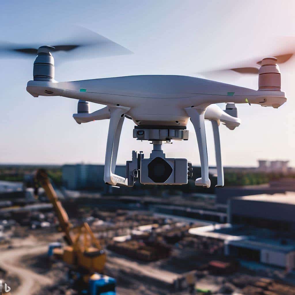
As a Drone Service Provider (DSP) for the commercial real estate sector, we leverage advanced drone technology to offer precise and efficient facade inspections for commercial high-rise buildings. Our drones are equipped with high-resolution cameras and various sensors to capture detailed imagery and data of the building’s exterior. We then utilize software visualization tools to aid in translating drone imagery into easy to understand data driven visualizations that can help commercial building managers make cost effective decisions that impact the long term sustainability of the properties they manage.
In this blog post, I will explore the key benefits of using drones for facade inspections.
Key Benefits of Using Drones for Facade Inspections
Cost-Effectiveness
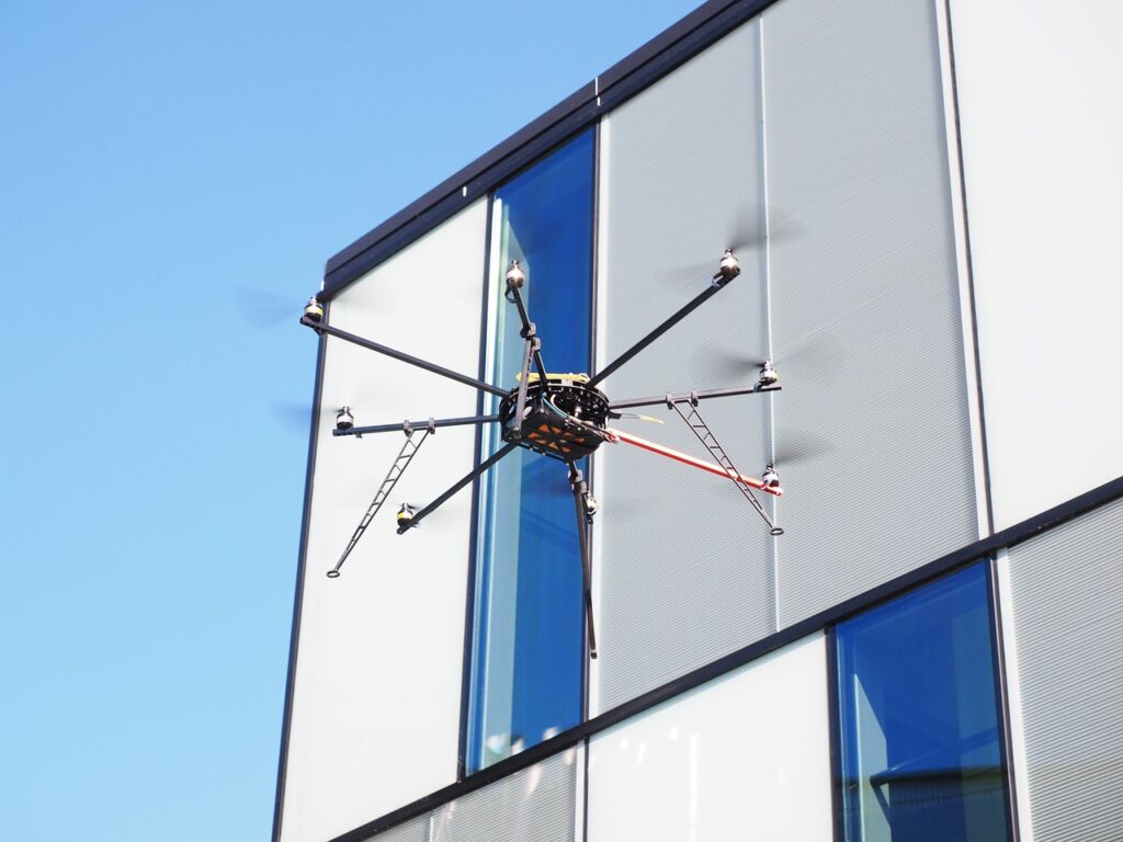
Traditional methods involving scaffolding and manual inspections can be expensive and time-consuming. Drones can perform inspections more quickly and with fewer resources, lowering overall costs. Complex building facades often have hidden nooks and crannies that pose a challenge for traditional methods. Our drones navigate tight spaces and reach hard-to-access areas with ease, providing a comprehensive overview of your entire building exterior. No stone goes unturned – you’ll receive a detailed report covering every inch of your facade, ensuring no potential issue goes unnoticed.
Enhanced Safety
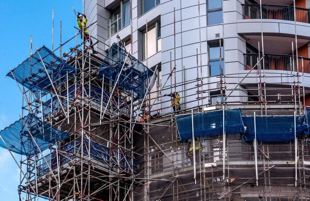
Drones eliminate the need for inspectors to physically climb scaffolding or use suspended platforms such as swing stages or man lifts, significantly reducing the risk of accidents and injuries associated with high-rise inspections. Traditional methods involving scaffolding, rope access, swing stages, man lifts, bucket trucks and manual inspections can be a major drain on your budget. Aerial Decisions’ drone services offer a cost-effective alternative. Drones require minimal set-up, can cover large areas quickly, and eliminate the need for extensive manpower. This translates to faster inspections at a fraction of the cost, freeing up your resources for other priorities.
Comprehensive Coverage
Drones can access hard-to-reach areas and provide a complete and detailed view of the building’s facade, ensuring no part of the structure is overlooked. Our drones are equipped with advanced cameras and sensors, capturing high-resolution images and videos that reveal even the most minute details.
High-Resolution Imagery and Data
Equipped with advanced cameras and sensors, drones capture high-definition images and videos, along with thermal and structural data. This detailed information aids in accurate assessment and diagnosis of potential issues. We can also integrate thermal imaging and other specialized sensors to gather comprehensive data about the structural integrity of your facade. This detailed information empowers you to make informed decisions regarding repairs, maintenance, and overall building health.
Real-Time Data and Reporting
Drones can transmit data in real time, allowing for immediate analysis and quick decision-making. This accelerates the process of identifying and addressing problems, minimizing downtime and disruption. Our drone technology allows for real-time data transmission. This means you can receive a comprehensive report and high-definition visuals the moment the inspection is complete. This rapid access to information allows for faster analysis and decision-making. Identify problems quickly, take action swiftly, and minimize downtime and disruption to your operations.
Now that we have covered the Key Benefits of Using Drones for Facade Inspections, let’s explore the types of data that building managers will find useful.
Types of Data Beneficial to Building Managers
Video and Images for Visual Record Keeping
Our high-resolution drone photos and videos capture the facade in stunning detail, revealing more than just a cursory glance ever could. This detailed visual record allows us to pinpoint visible defects like cracks, spalling, water stains, discoloration, and other signs of wear and tear. With this information, you can prioritize repairs and address issues before they escalate into major problems.
3D Mapping and Modeling
Drones can create accurate 3D models of the building’s exterior. These models help visualize the facade’s condition and plan for maintenance or repairs. The 3D model serves as a “digital twin” of the physical building where building managers can compare the digital twin to the actual facade to assess its condition thus Identifying areas that need maintenance, repairs, or upgrades.
Environmental Data
Drones can collect data on environmental conditions around the building, such as wind loads and weather patterns, which can affect the facade’s longevity and performance.
Drones Equipped with Thermal Sensors
Traditional inspections often miss hidden problems lurking beneath the surface. Our drones are equipped with thermal imaging technology that reveals temperature variations across the facade. These variations can be indicative of a variety of issues, including:
Water Intrusion
Because moist areas retain heat differently than dry areas, moisture trapped within the walls will show up as cooler spots in thermal images. Drones equipped with multispectral sensors capture data across different wavelengths of light.
Insulation Problems
Poorly insulated areas will show significant temperature differences compared to well-insulated sections. Well-insulated areas retain heat efficiently, resulting in a more uniform temperature across the facade. The thermal camera translates this uniformity into a consistent color on the image.
Electrical Faults
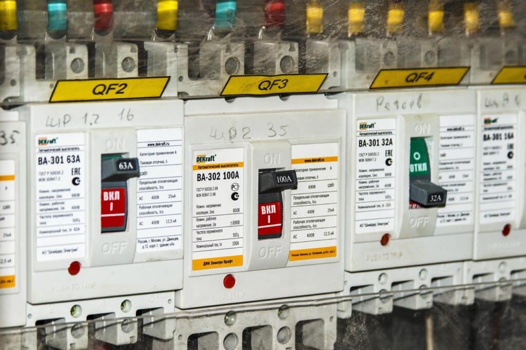
Overheated electrical components can be identified through thermal signatures, enabling prompt repair and preventing potential fire hazards.
By harnessing the power of thermal imaging, we provide a deeper understanding of your building’s health and help you address potential problems before they become costly repairs. Ultimately, by utilizing drone technology for facade inspections, commercial high-rise building managers can gain a comprehensive understanding of the building’s exterior condition, prioritize maintenance tasks, and ensure the safety and longevity of the structure.
Looking for Drone Inspection Case Studies?
Case Studies: Benefits of Drones in Façade Inspections for Commercial Buildings
NYC Department of Buildings Study The New York City Department of Buildings conducted a comprehensive study on using drones for façade inspections, highlighting potential time and cost savings. The study emphasized that drones could rapidly differentiate areas needing repair, which would allow for more targeted use of scaffolding and reduce unnecessary expenses. Although NYC laws currently restrict drone usage, the findings suggest significant future savings and efficiencies once regulatory changes are implemented (DroneDJ) .
Haag Global’s Use of Drones Haag Global demonstrated the advantages of using drones for façade inspections in a case study from February 2023. They found that drones significantly reduced the time required for inspections and minimized the need for costly equipment like aerial lifts or scaffolding. Drones also improved safety by reducing the need for inspectors to work at heights. High-resolution images and videos captured by drones provided detailed data, enabling more precise assessments and reducing the need for additional hands-on inspections (Haag Global) .
Facility Executive Case Study An article in Facility Executive highlighted the adoption of drones for building envelope inspections by companies like Helios Visions. Drones enabled quick capture of high-resolution images and videos, leading to faster and more accurate assessments of façade conditions. This method was significantly cheaper and safer than traditional approaches involving scaffolding or rope access. The case study noted that drones could cover a building’s exterior in a fraction of the time, providing valuable data to identify potential issues before they became critical (Facility Executive Magazine) .
From The Editor:
Do you need to hire a professional drone service provider for your project? To speak to an aerial data specialist, fill out a form, email us or for even faster response times, give us a call at (833) FLY-4YOU or (833) 359-4968. Check out our transparent pricing at https://www.aerialdecisions.com/drone-photography-pricing/ and watch this space as we expand on the above topics and more over the coming weeks and months.
If you like this post, feel free to click the share button at the bottom of the page. We appreciate you helping us by spreading the content we share on our blog.