Drone data collection services provide a reliable and efficient method for inspecting commercial building facades, offering numerous benefits that enhance worker safety, save costs, expedite deliverables, optimize manpower allocation, and keep key stakeholders informed and engaged.
In this blog post, we explore these key advantages and showcase the impact of drone inspections through an actual construction defect legal case.
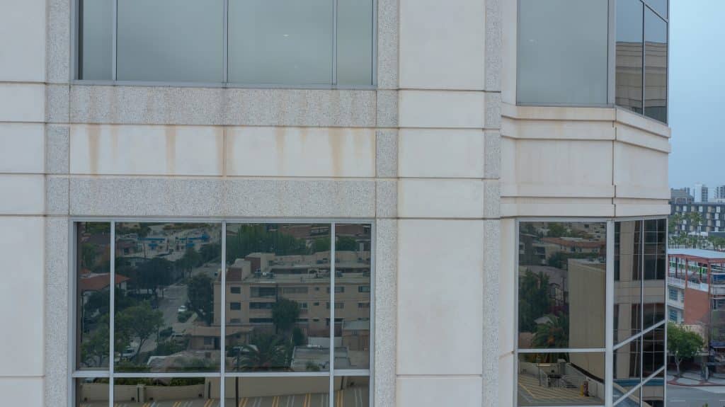
Advantages of Using Drones for Commercial Building Facade Inspections
Improve Worker Safety
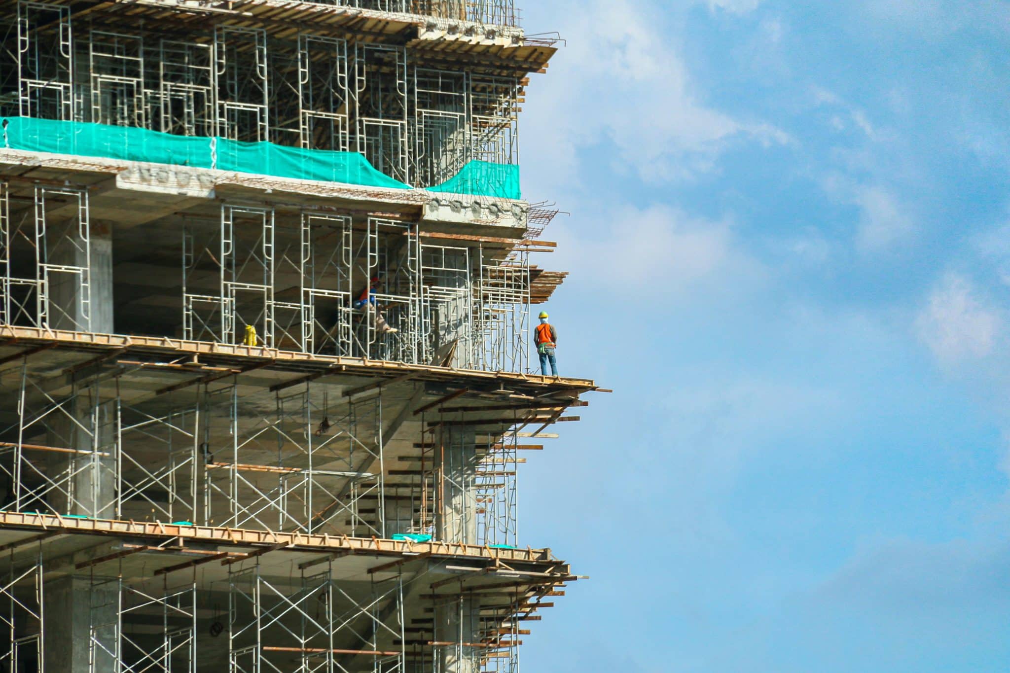
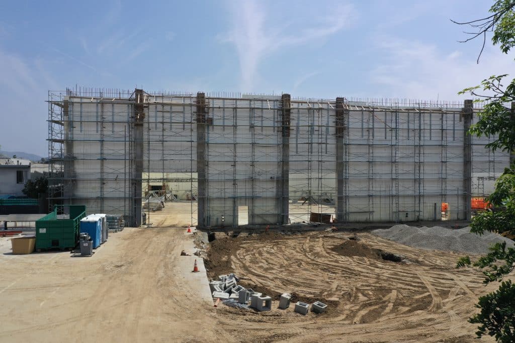
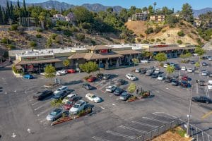
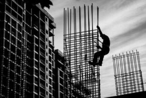
Traditional methods of inspecting commercial building facades involve manual labor, often requiring workers to use scaffolding or suspended platforms. These methods can pose significant risks, including falls and accidents. By using drones, building owners and inspectors can eliminate or significantly reduce the need for workers to access dangerous heights, thereby improving worker safety and reducing potential injuries or accidents.
Cost Savings
Drone data collection services offer cost savings in multiple ways. Drones can capture high-resolution images and videos, eliminating the need for expensive equipment such as scaffolding, high-reach cranes or helicopters. Additionally, drone inspections are more time-efficient, reducing labor costs associated with extended inspection periods. By providing accurate and comprehensive data, drones help identify issues early on, preventing costly repairs and minimizing long-term maintenance expenses.
Speed of Deliverables
Drone inspections enable rapid data collection and analysis. In the past, commercial building owners used scaffolding and time intensive labor to log building inspections. Drones can capture detailed images and videos of building facades efficiently and at high speed. What used to take a week or more, drone data can be processed quickly and turned into actionable insights, allowing stakeholders to make informed decisions promptly. This swift turnaround time accelerates the entire inspection process, enabling building owners to address any identified issues promptly.
Manpower Allocation
Using drones for building facade inspections allows for optimal allocation of manpower. Instead of dedicating a significant number of workers to perform manual inspections, these resources can be redirected to other crucial tasks, such as maintenance, repairs, or specialized assessments. By streamlining the inspection process, drone data collection services help organizations allocate their workforce more efficiently, saving time and resources.
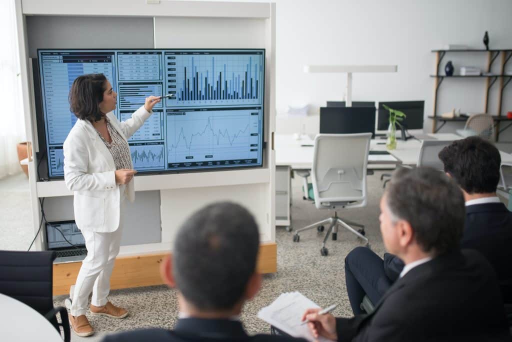
Engaging Key Stakeholders
Drone inspections facilitate effective communication and engagement among key stakeholders. The comprehensive visual data captured by drones provides a clear understanding of the building’s condition, making it easier to communicate potential issues to internal teams, building owners, insurers, and external contractors. This transparency will help to foster collaboration and ensure all stakeholders are well-informed and engaged throughout the inspection and maintenance processes.
Construction Defect Cases on the Rise
Design defects and poor workmanship have risen to become leading causes of engineering claims. Defective products are the single biggest source of engineering claims by frequency, and the second largest by severity, according to AGCS claims analysis. Accounting for 27% of engineering claims, there are almost three times as many defective products claims as storm claims, the next largest cause of engineering claims by frequency.
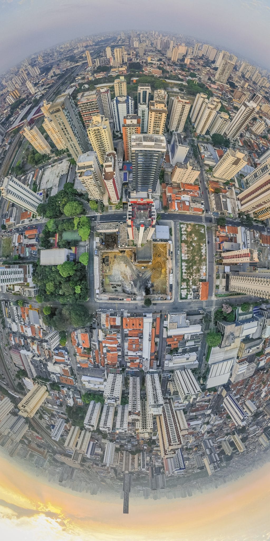
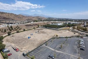
Commercial buildings often have hard to reach places that make facade inspections difficult and time consuming. Compared to more frequently used manual visual inspections, using drones for commercial building facade Inspections can more easily capture high-resolution images and videos, which can be used to create detailed reports of the defects. Drone data is objective and impartial, which can help to persuade a jury.
Drones Aid a Construction Defect Claim
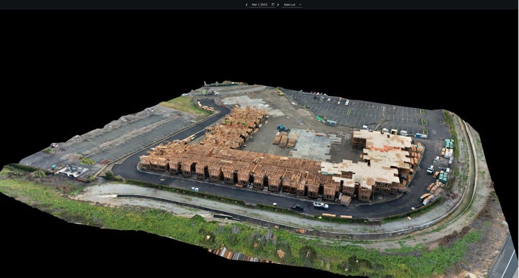
A homeowners association representing a residential development of more than 100 homes filed a construction defect claim against the home builder, a UAV/Drone Service Provider was enlisted to document several construction defects relating to the work of the roofer, including damaged/broken roof tiles, overexposure at rakes and ridges, and liquefaction of self-adhesive flashing.
High-resolution photos and videos captured by the aerial survey revealed the extent of the damages, thus, a time consuming and costly manual inspection was avoided and the high resolution drone data ultimately led the two sides to agree to a fair settlement.
Drone data collection services have become a game-changer for commercial building facade inspections. By leveraging drones, building owners and inspectors can benefit from improved worker safety, cost savings, expedited deliverables, optimized manpower allocation, and better engagement with key stakeholders. The construction defect case outlined above demonstrates the significant impact of drone inspections in legal proceedings, providing compelling evidence to support claims and, in many cases, leads to equitable outcomes.
From The Editor
Do you need to hire a professional drone service provider for your project? To speak to an aerial data specialist, fill out a form, email us or for even faster response times, give us a call at (833) FLY-4YOU or (833) 359-4968. Check out our transparent pricing at Drone Photography Pricing and watch this space as we expand on the above topics and more over the coming weeks and months.
If you like this post, feel free to click the share button at the bottom of the page. We appreciate you helping us by spreading the content we share on our blog.