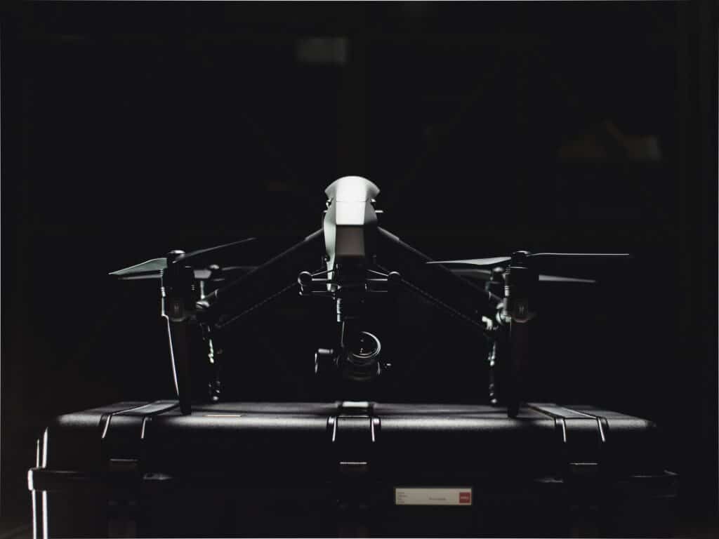
As a Drone Service Provider (DSP) that specializes in data collection services for the construction industry, I am constantly intrigued by the innovative software technologies that continue to transform traditional construction processes. I am further excited about how drone data is becoming more intertwined with each technological advancement in construction project management software. In recent years, software has become an indispensable tool for construction companies involved in commercial building projects. This blog post explores the types of software construction companies use for various phases of construction and, more importantly, how drone technology has emerged as a game-changer by providing critical data that seamlessly overlays into existing software.

Types of Software for Commercial Building Projects
Construction companies have embraced software solutions to enhance efficiency, reduce costs, and ensure smooth project management. Here are some of the crucial software types utilized in different phases of commercial building projects:
Building Information Modeling (BIM): BIM software facilitates the creation of detailed 3D models of the building, enabling collaboration among architects, engineers, and contractors. It streamlines design coordination, identifies clashes, and optimizes construction sequences, all while fostering better communication.
What is BIM Software?
BIM (Building Information Modeling) software is like a super-smart digital blueprint for commercial construction projects. It allows architects, engineers, and builders to create detailed 3D models of the building before it’s even constructed. This software helps everyone involved in the project collaborate better, identify potential problems early on, and plan everything more efficiently, resulting in smoother construction and a better end result.

Project Management Software: These platforms aid in planning, scheduling, and resource allocation. They offer real-time progress tracking, cost management, and document control, fostering transparency and accountability among project stakeholders.
Virtual and Augmented Reality (VR/AR): VR/AR technologies are gaining traction in the construction industry, allowing stakeholders to experience immersive virtual walkthroughs of buildings before construction begins. These simulations aid in identifying potential design flaws and improving client engagement.
Estimating and Takeoff Software: Accurate cost estimation is vital in construction projects. Estimating software helps construction companies determine the quantity of materials required and provides real-time pricing data to develop precise project budgets.

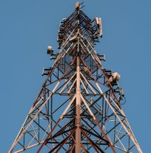
The Role of Drones in Commercial Construction
Drone technology has significantly impacted the construction industry, and its integration with existing software has revolutionized the way companies approach building projects. Here’s how drones contribute throughout various construction phases:
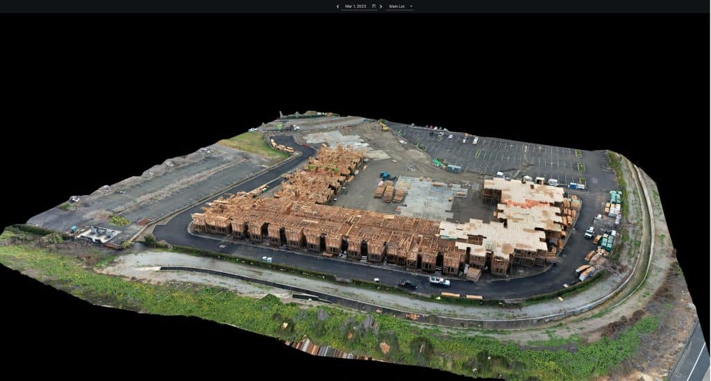
Pre-construction Phase: Drones equipped with high-resolution cameras conduct aerial surveys and site inspections. This data is then fed into BIM software, aiding architects and engineers in creating accurate 3D models and improving initial designs.
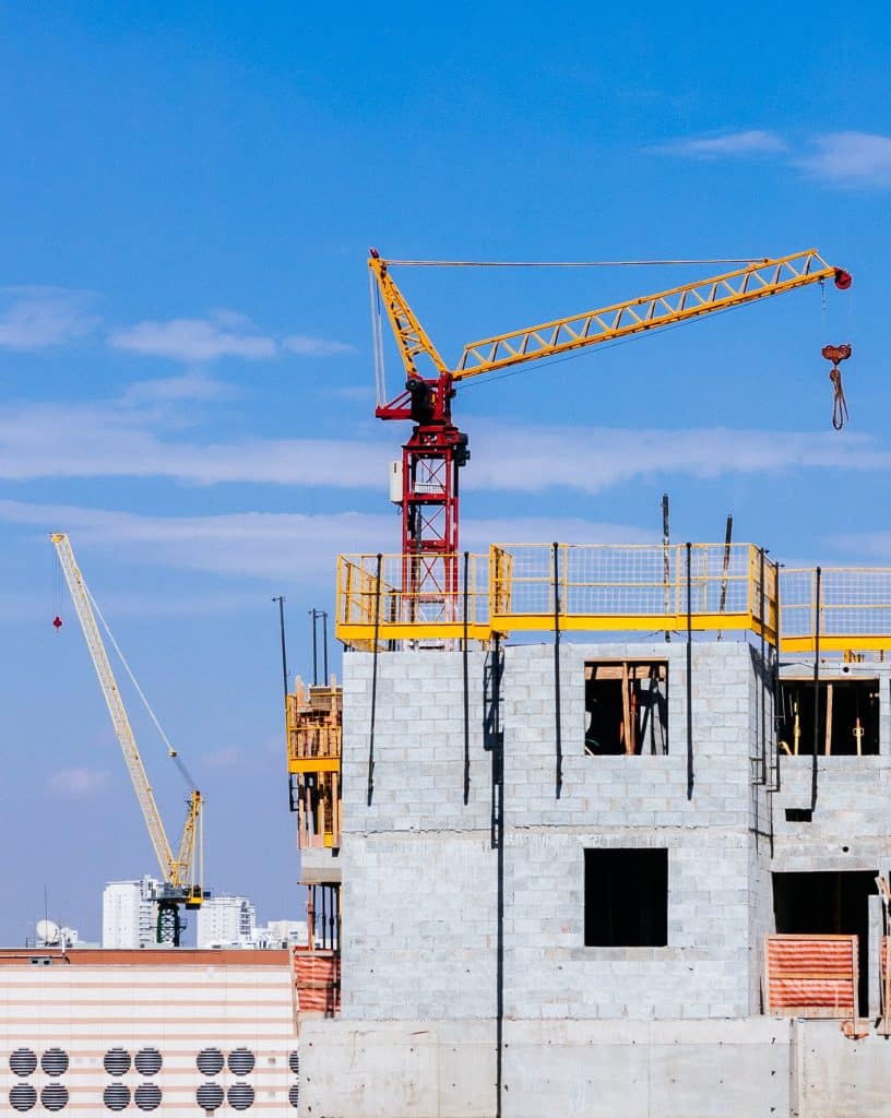
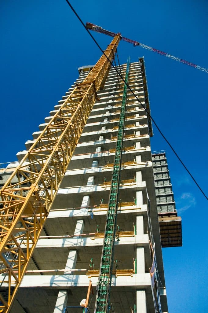
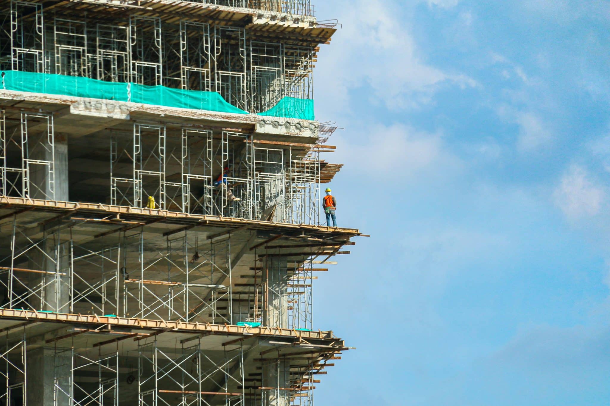
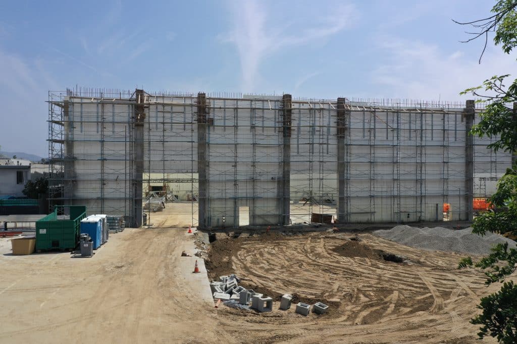
Active Construction Phase: Drones provide real-time monitoring of construction progress, enabling project managers to identify potential delays and streamline workflows. They also enhance job site safety by inspecting hard-to-reach areas without risking human lives.
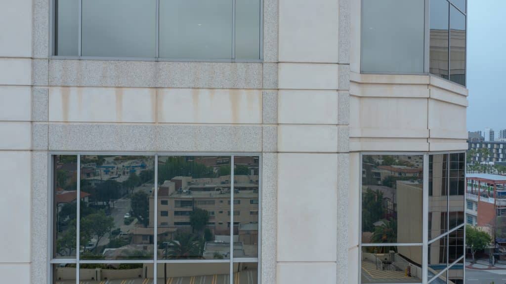
Post Construction Phase: Drones facilitate post-construction inspections, ensuring that the built structure aligns with the original design. Their ability to capture detailed imagery assists in creating as-built models for facility management and maintenance.
Seamless Integration with Existing Software
The true power of drones lies in their ability to seamlessly integrate with the software construction companies already use. Drone-captured data is effortlessly imported into BIM, project management, and estimating software, providing real-time updates and accurate information at every stage of the project. This integration ensures that construction teams work with the most current data, fostering collaboration and informed decision-making.
In conclusion, the construction industry is embracing technology like never before. Software solutions have become a cornerstone of commercial building projects, streamlining operations, and promoting effective collaboration. However, the real game-changer has been the synergy between drones and construction software and integrating drone data with construction software is now a perfect match. The critical data captured by drones has breathed new life into pre-construction, active construction, and post-construction phases, propelling the industry into a new era of efficiency, safety, and excellence.
From The Editor:
Do you need to hire a professional drone service provider for your project? To speak to an aerial data specialist, fill out a form, email us or for even faster response times, give us a call at (833) FLY-4YOU or (833) 359-4968. Check out our transparent pricing at https://aerialdecisions.com/drone-photography-pricing/ and watch this space as we expand on the above topics and more over the coming weeks and months.
If you like this post, feel free to click the share button at the bottom of the page. We appreciate you helping us by spreading the content we share on our blog.